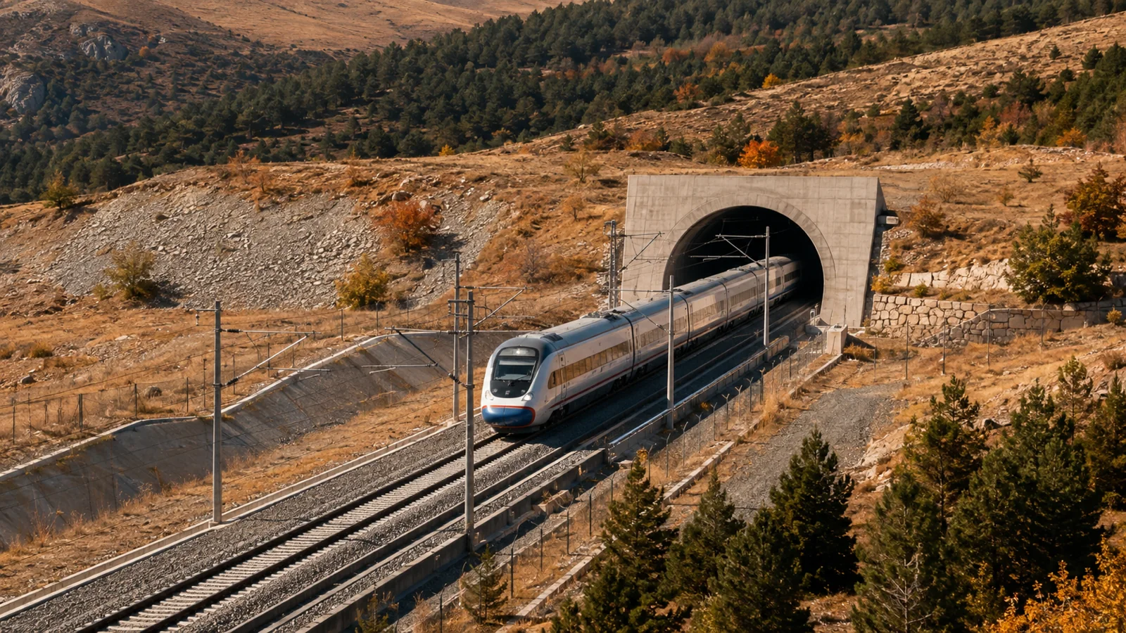
Northern Anatolia Transport Corridor
Integrated topography, laser scanning and GIS delivery for a 120 km rail corridor.
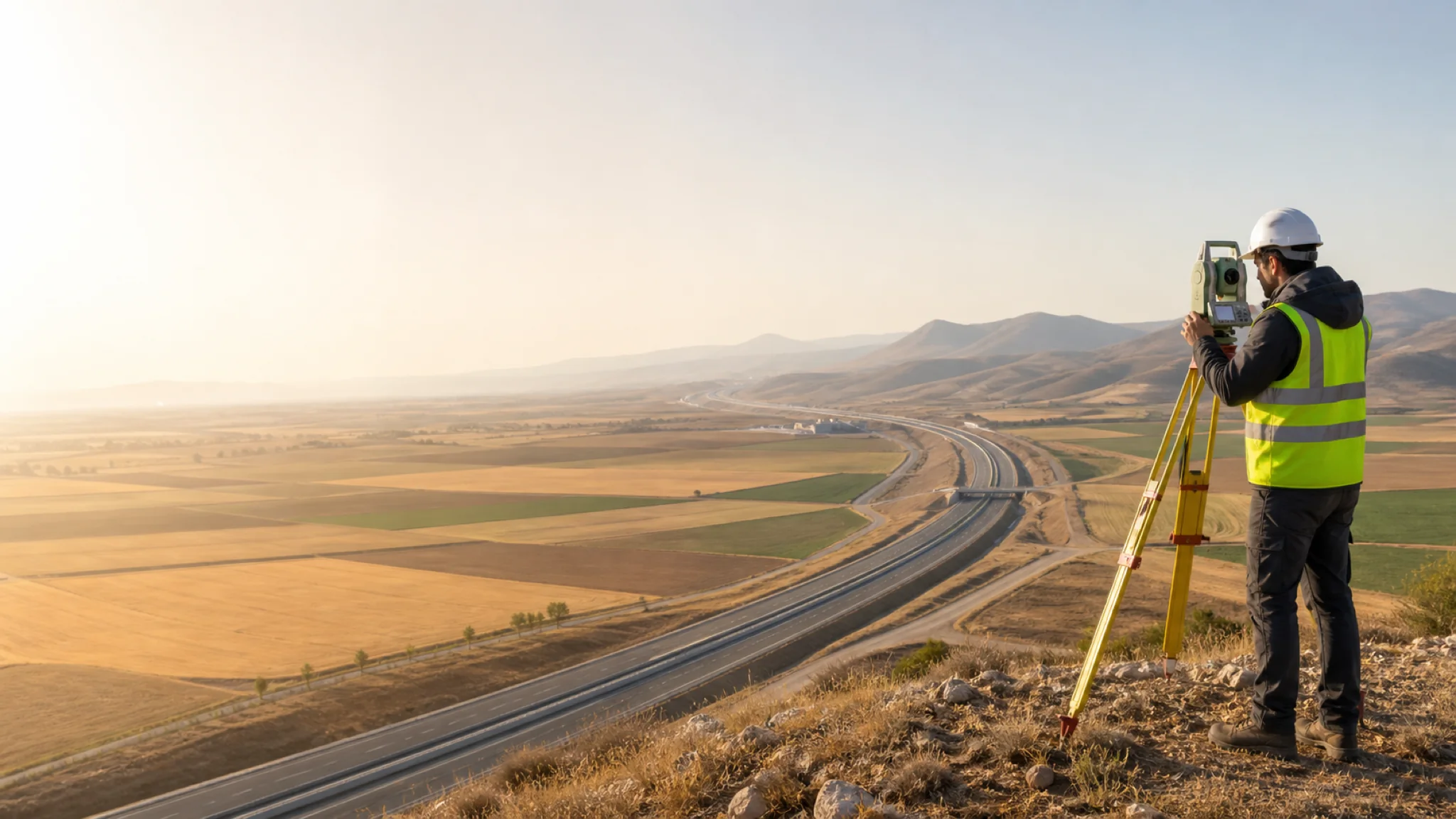
We turn land into data, and data into confidence.
Featured project
Integrated topography, laser scanning and GIS delivery for a 120 km rail corridor.
ExploreServices
We are more than a field crew. Surveying, modelling and spatial-data specialists work through one shared accuracy chain.
Sub-centimetre spatial data for planning and construction decisions.
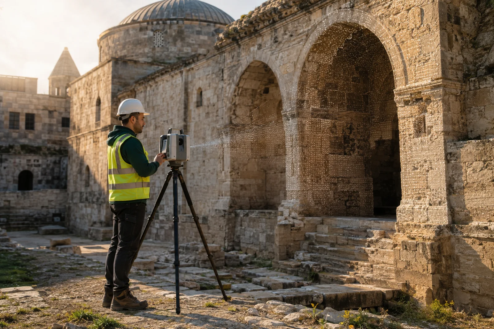
02Capture existing conditions as millions of reusable, high-accuracy points.
03Turn fragmented field data into a living, queryable decision system.
04Measure large sites through fast, safe and repeatable missions.
Field notes
Three project scenarios where scanning cuts revisits, clashes and revision costs.
ExplorePractical steps to prevent datum and transformation errors from multiplying on site.
ExploreGeometry, classification and quality-control steps for an updatable asset model.
ExploreMeasurable confidence
Every delivery includes its coordinate system, tolerances, equipment and quality-control record.
About